Solutions & Services

Empowering Digital Transformation with Precision Geospatial Data

OUR COMPREHENSIVE SERVICES

图片1

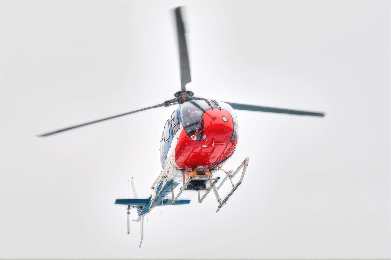
Aerial Remote Sensing

Advanced remote sensing equipment for customized multi-type aerial mapping data services, efficient acquisition and processing for diverse scenarios.

bell407 大飞机图04

Data Processing Services

High-performance workstations and professional team, providing top-tier high-precision data processing for large-scale complex scenarios.
微信图片 20260826180051 50 23

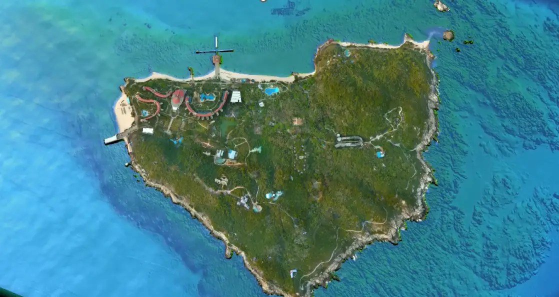
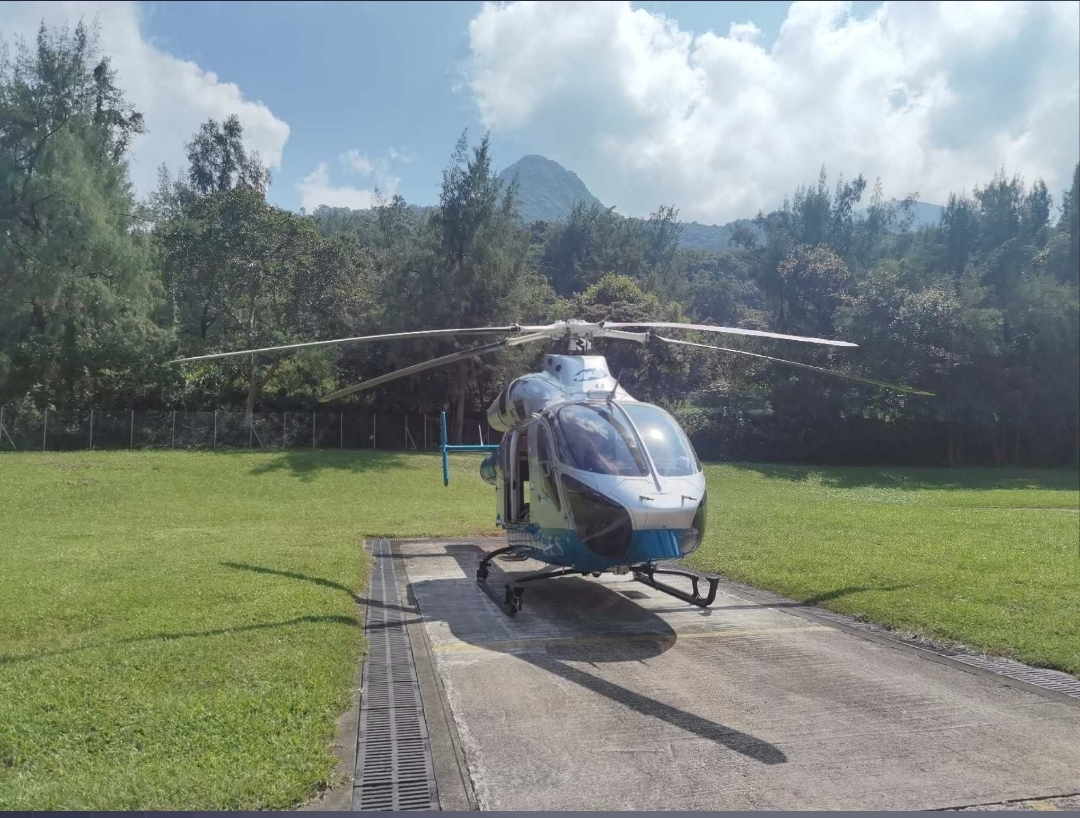
Airborne Laser Bathymetry(ALB)

High-precision underwater mapping via blue-green laser penetration for coastal, channel, and target detection applications.
md902 打飞机 飞香港 正面全景

Professional Consulting Services

Surveying technology, data processing and visualization consulting, helping clients solve complex industrial problems.

Advanced Aerial Remote Sensing & High-Efficiency Data Acquisition

Leveraging our core capabilities in aerial surveying, we provide comprehensive spatial information services for diverse industries. Our solutions go beyond simple data capture to deliver a complete digital foundation for your projects.

Oblique & Vertical Photogrammetry

We break through the limitations of traditional vertical photography by using multi-angle synchronous imaging. This captures high-resolution textures of building facades and roofs, generating realistic, measurable 3D models and producing standard products like DLG, DEM, and DOM.

Airborne LiDAR Scanning (ALS)

Our high-precision LiDAR systems penetrate vegetation canopies to acquire accurate ground points and 3D data of surface features, making it ideal for complex terrains, dense urban areas, and corridor mapping.

Thermal Infrared Imaging

We integrate thermal sensors to identify urban heat islands and energy loss points, providing critical data for urban energy conservation planning and facility inspection.

Hyperspectral Remote Sensing Imaging

Equipped with hyperspectral sensors, we capture continuous spectra to precisely identify material composition and environmental changes. This delivers critical spectral data for precision agriculture, pollution monitoring, and mineral exploration.

Professional Geospatial Data Processing & Value Extraction

Raw data is just the beginning. Our expert team utilizes high-performance computing clusters and proprietary algorithms to transform raw survey data into actionable intelligence, ensuring accuracy and usability.

High-Performance Parallel Computing

Deploying multi-node high-performance workstations to efficiently process large-scale, high-resolution remote sensing data, significantly reducing project turnaround time.

Point Cloud & Image Automation

Streamlined workflow: aerotriangulation, block adjustment, and auto-classification deliver clean 3D models with accurate ground, vegetation, and building extraction.

Standardized Mapping Product Generation

Generating a full suite of standard mapping products — Digital Line Graphs (DLG), Digital Elevation Models (DEM), and Digital Orthophoto Maps (DOM) — compliant with national and international standards.

Multi-Level Quality Control System

Multi-stage QC covers raw data inspection, distortion correction, motion compensation, and slice timing to ensure data integrity, precision, and reliability.

Airborne Laser Bathymetry (ALB) & Marine Spatial Data Platform

Leveraging blue-green laser penetration for high-precision, seamless land-sea topographic mapping — delivering centimeter-level 3D spatial data to support coastal zone management, channel surveying, and submerged target identification.

High-Precision ALB Data Acquisition

Blue-Green Penetration: Utilizes 532nm lasers to accurately map underwater topography
Seamless Land-Sea Mapping: Simultaneously captures coastal and bathymetric data for full coverage

Advanced Data Processing & Modeling

Intelligent Point Cloud Processing: Automated calculation to generate high-precision DEMs rapidly
Underwater 3D Reconstruction: Accurately reconstructs details of reefs, wrecks, and submerged structures for refined analysis

Integrated GIS & Visualization Systems

Multi-source Data Fusion: Fuses bathymetry, satellite imagery, and ENC data for unified management
Interactive Visualization: Supports 2D/3D linked browsing to intuitively display complex marine environments

Industry-Specific Applications

Channel Safety Monitoring: Rapidly detects shoals and obstacles to ensure navigation safety
Island & Reef Surveying: Efficiently acquires shallow-sea topography to support ecological assessment

Expert Geospatial Consulting & Technical Advisory

Our consulting services guide organizations through the complexities of geospatial technology. We help you define your spatial data strategy, select the right technologies, and optimize workflows for maximum return on investment.

Infrastructure Safety Monitoring

We design and implement comprehensive monitoring solutions using Sensemetrics sensor networks and the Vista Data Vision data analysis platform. This system provides real-time data on displacement, strain, and tilt for bridges, dams, and slopes, with automated early warning alerts.

Digital Twin Strategy

We advise on creating and implementing digital twin strategies for factories, cities, and infrastructure, helping you integrate real-time IoT data with 3D models for predictive simulation and management.

Technical Solution Design

From selecting the right mix of aerial and ground survey equipment to designing the data processing workflow, we provide expert advice tailored to your project’s specific requirements.

Project Feasibility & Standards

We conduct feasibility studies and help enterprises and governments establish their own data standards and technical protocols.

Our Typical Clients

Our Partners

滚动至顶部