Products
Hardware Products
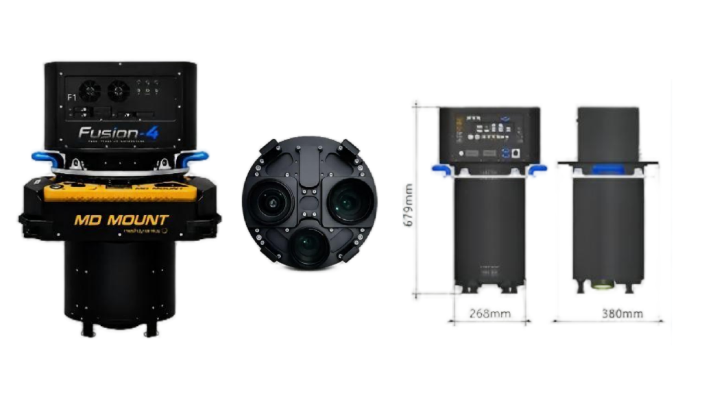
Fusion-4 Four-Band Aerial Camera System
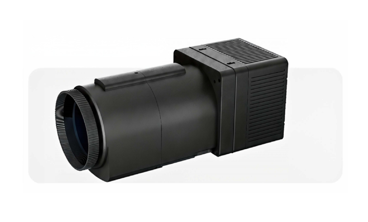
Fusion-4 is a domestically developed, four-band aerial imaging system for professional photogrammetry and multispectral remote sensing. It delivers survey-grade geometry and spectral accuracy, works on fixed-wing and multirotor drones, and features a modular design for dual-use flexibility—filling a key gap in China’s high-end airborne sensing market.
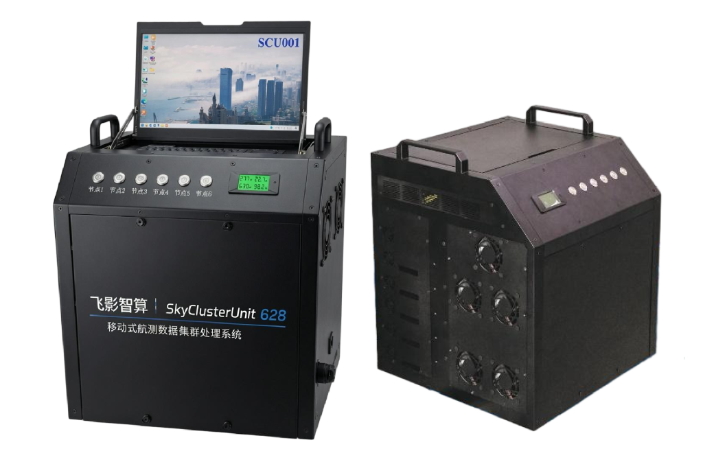
SkyClusterUnit 628: Airborne Edge Computing Power
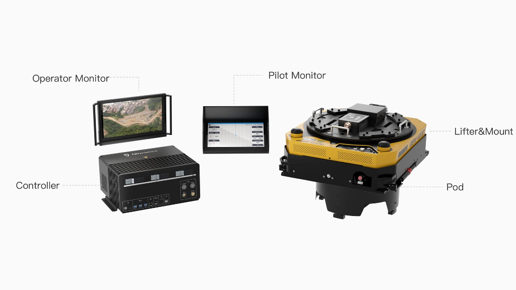
The SkyClusterUnit 628 (SCU-628) is a high-performance, mobile computing cluster designed for real-time aerial data processing. It empowers surveying and emergency response teams to analyze massive datasets directly in the field.
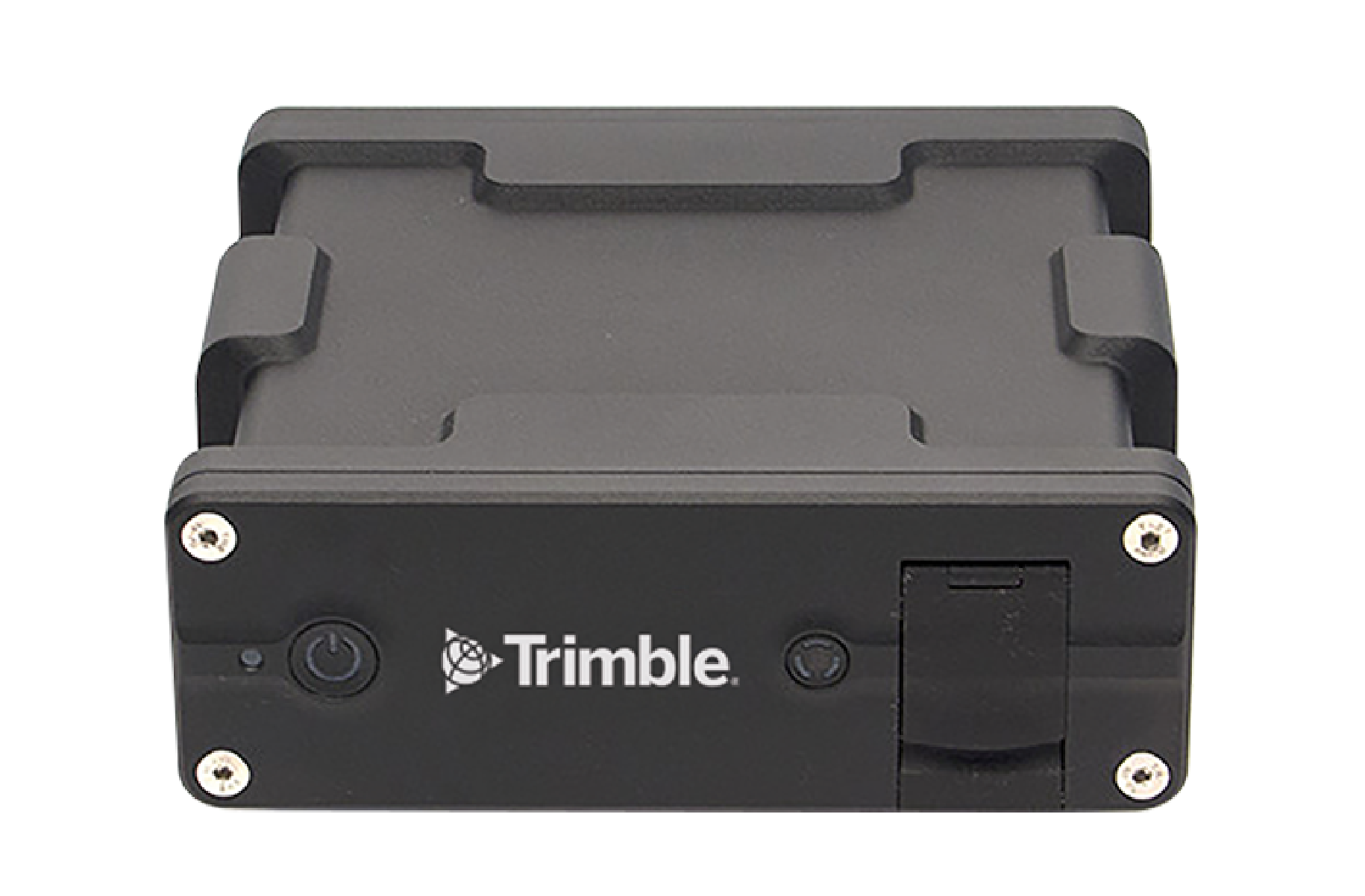
Trimble Applanix POS AV
GNSS-INS systems for aerial mapping
The Applanix POS AV system is designed for Direct Georeferencing of airborne sensor data, integrating precision GNSS with inertial technology. It enhances the efficiency, effectiveness and economy of geospatial projects. Supported by industry expertise and innovation, the Applanix POS AV is ideal for aerial cameras, scanning lasers, imaging sensors, synthetic aperture radar and lidar technology.
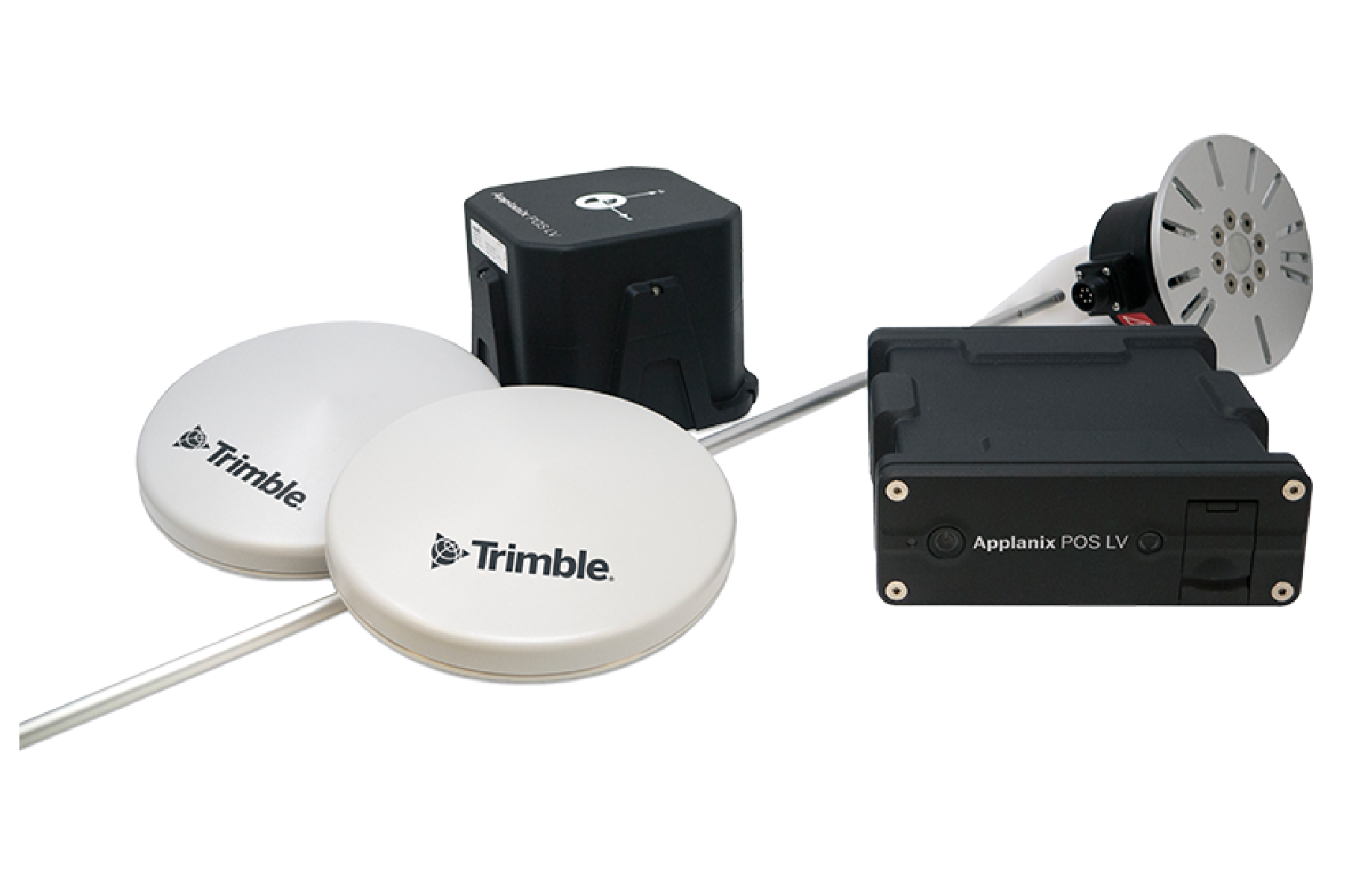
Trimble Applanix POS LV
GNSS-INS systems for terrestrial mobile mapping
The Applanix POS LV blends cutting-edge inertial technology with a compact, integrated design for unmatched accuracy in urban and suburban environments. The rugged POS LVX variant is perfect for small vehicles and tight spaces, making it ideal for modular mobile mapping and autonomous applications. Elevate your projects with the best in reliable positioning.
Trimble Applanix
FJD TRION️ O1
URBAN 3D MODELING
FJD Trion O1 is a large-format urban solution with extraordinary capturing performance and operational efficiency. Carrying four oblique RGB cameras and one nadir camera, 150 MP each, O1 captures photogrammetric images of superior quality, resolution, and clarity. It is by far one of FJD’s most efficient all-in-one solutions for wide-area mapping and 3D city modeling.
FJD Trion AM150A
Medium Format Urban Camera
Boost productivity in urban image acquisition with the FJD Trion AM150A. Featuring a backside-illuminated CMOS sensor for reduced noise and enhanced performance in low-light conditions, the AM150A captures imagery at up to 4fps and 150MP. Capture more in fewer, faster flights and take your urban mapping missions to new heights.
FJD Trion™ P1
LiDAR SCANNER
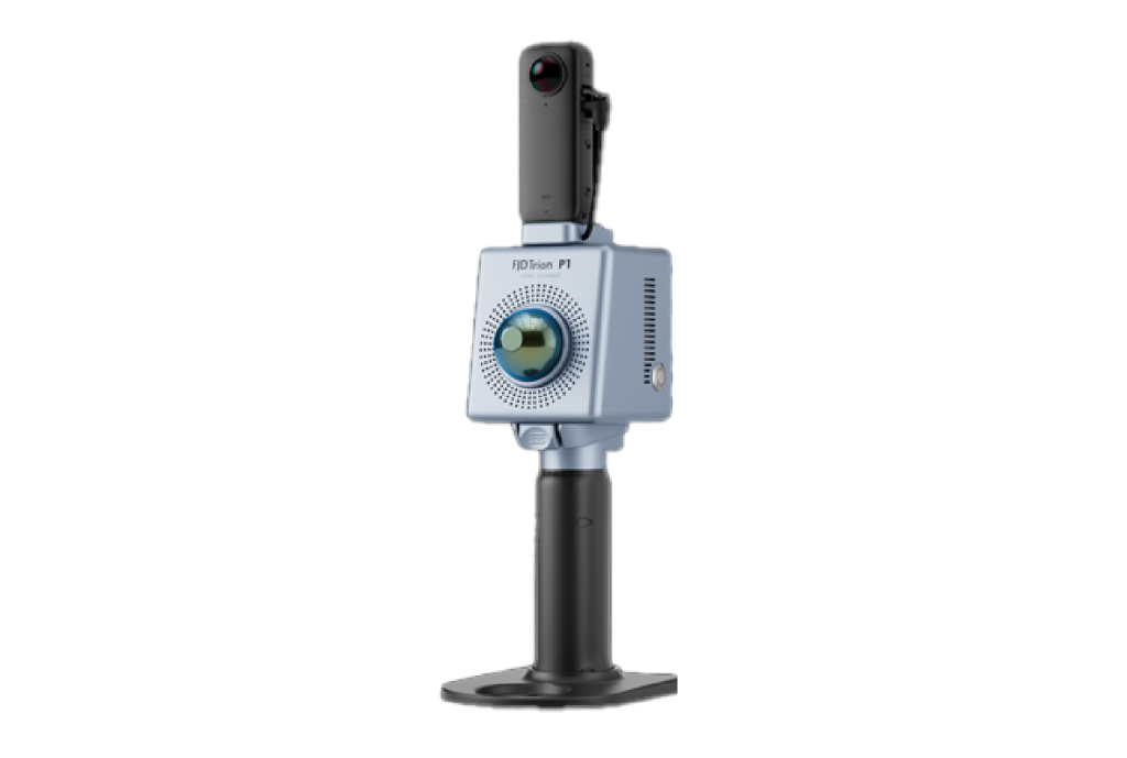
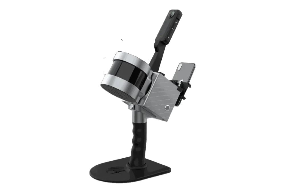
A lightweight handheld SLAM LiDAR scanner weighing 1 kg, featuring a 905nm eye-safe laser with 200,000 pts/s scan rate, 360°×59° FOV, and 40m range. Delivers 2cm relative accuracy with real-time point cloud visualization. Optional panoramic camera and RTK modules enable true-color capture and georeferencing. Supported by FJD Trion Scan app, FJD Trion Model software, and FJD Trion Explorer cloud platform.
FJD Trion™ P2
LiDAR SCANNER
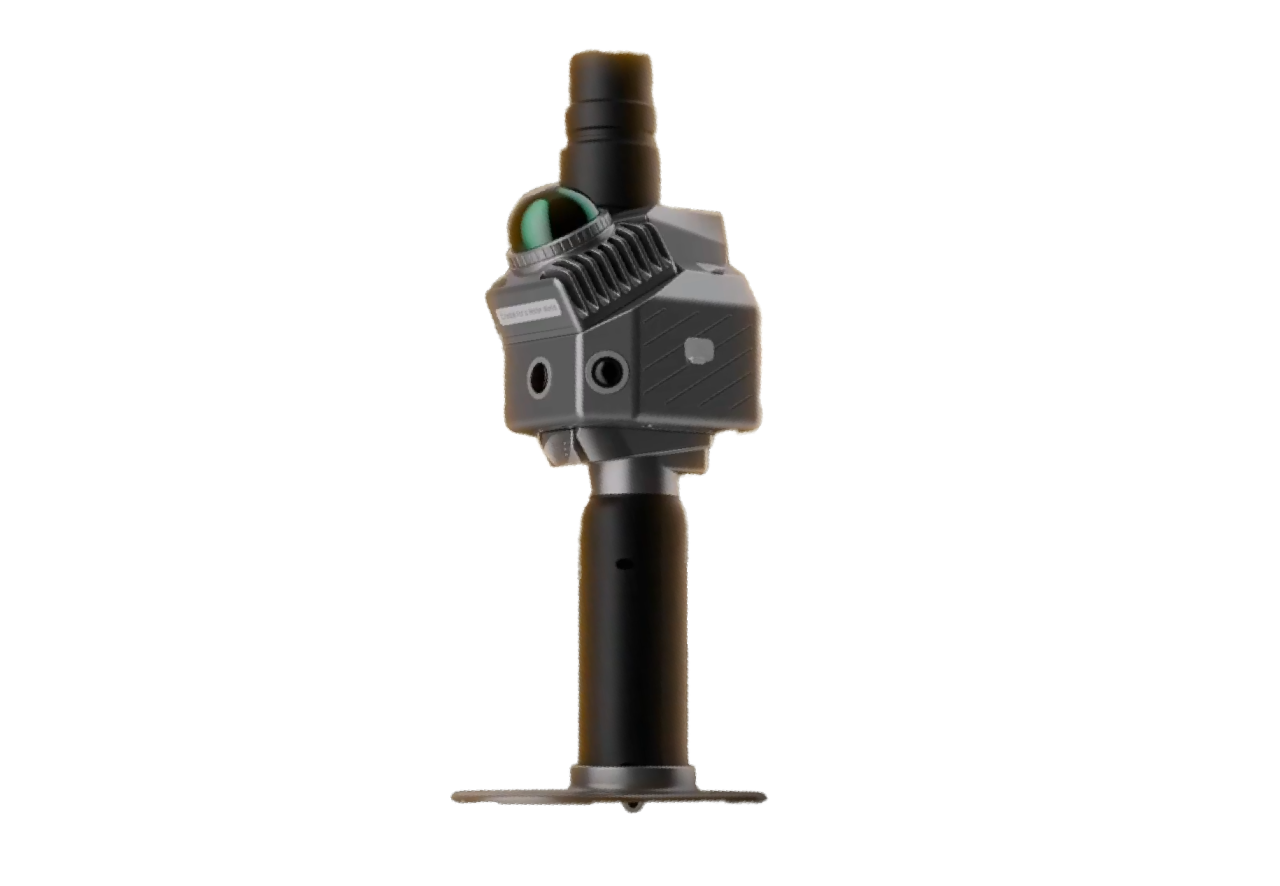
The next-generation FJD Trion P2 LiDAR Scanner combines incredible portability with industrial-grade accuracy.
Designed for seamless field operations, the P2 delivers centimeter-level precision, real-time colorized point clouds, and multi-format deliverables—all in a compact 700g body. Whether mapping complex landscapes or capturing intricate details, the P2 empowers professionals and surveyors to achieve more with less effort.
FJD TRION™ S1
3D LIDAR SCANNER
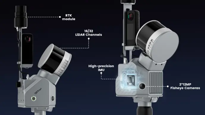
A portable SLAM LiDAR scanner with a 16-channel sensor delivering 320,000 pts/s, 120m range, and 360°×270° FOV at 2cm relative accuracy. Supports handheld, backpack, drone, and vehicle-mounted modes with hot-swappable dual batteries for up to 4 hours of operation. An upgraded S1 Pro version features a 32-channel sensor at 640,000 pts/s. Optional panoramic camera enables true-color output. FJD Trion Model software includes floor plan generation, tunnel section analysis, and forestry measurement modules.
FJD TRION™ S2 SERIES
LIDAR SCANNER
The FJD Trion S2 LIDAR Scanner boasts advanced VIO and SLAM algorithms for generating high-quality and reliable point clouds. Supporting over 8000 coordinate systems, the S2 eliminates the need for time-consuming manual coordinate conversions. By integrating with FJD Trion Scan and Model software and utilizing practical accessories like stabilizing vest, drone mount, car mount, and robot dog mount, the S2 enhances data capturing and processing efficiency for outdoor surveying projects.
FJD TRION™ V10i
RTK SYSTEM WITH VISUAL POSITIONING
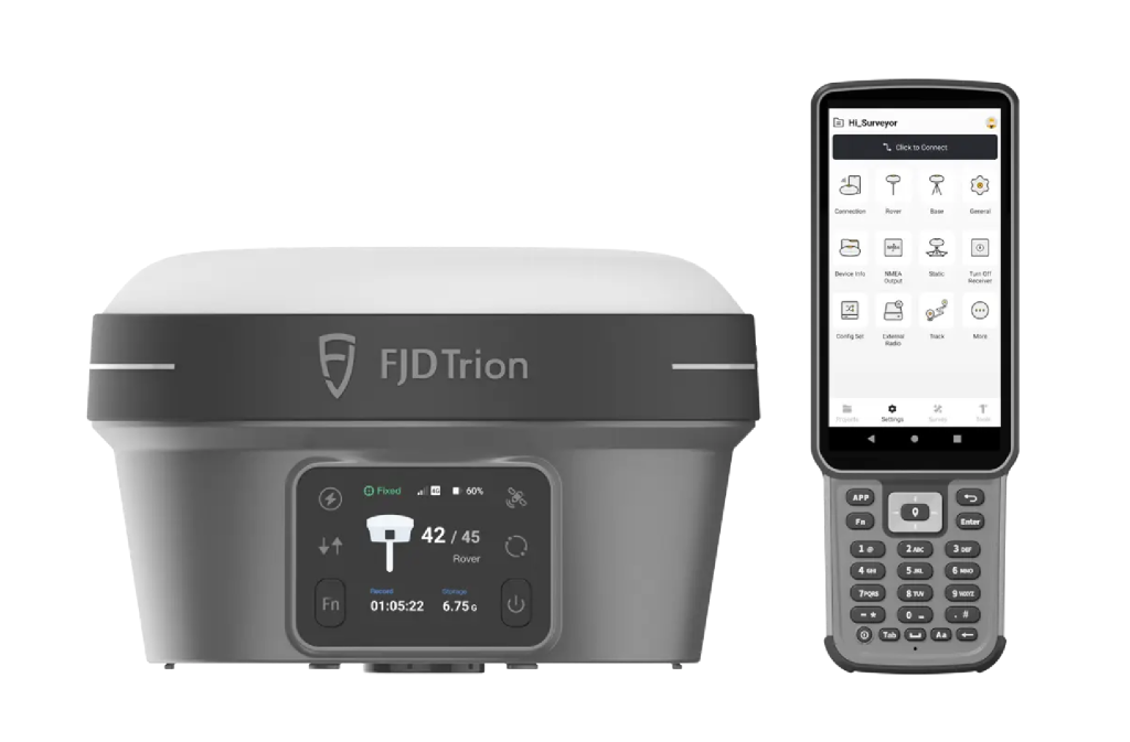
Integrating visual positioning with GNSS technology, the V10i enhances surveying efficiency through AR stakeout and visual measurement. Equipped with dual cameras and an IMU, it delivers centimeter-level accuracy with a 60° tilt tolerance and 1ppm scale error. The rugged IP68-rated design withstands 2m drops, while multi-mode communication ensures reliable connectivity in demanding field environments.
FJD
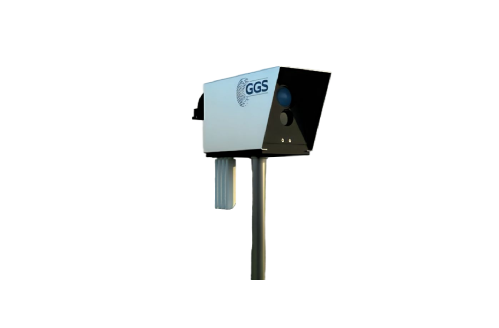
GGS OIS.360
Single-Lens Rotating Oblique System
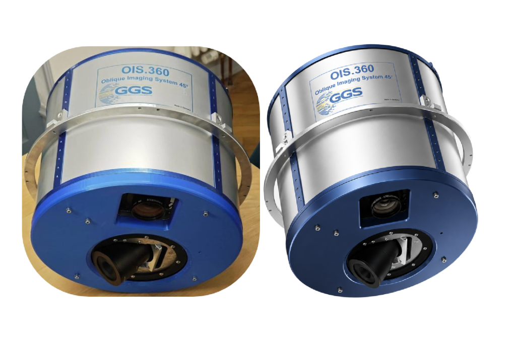
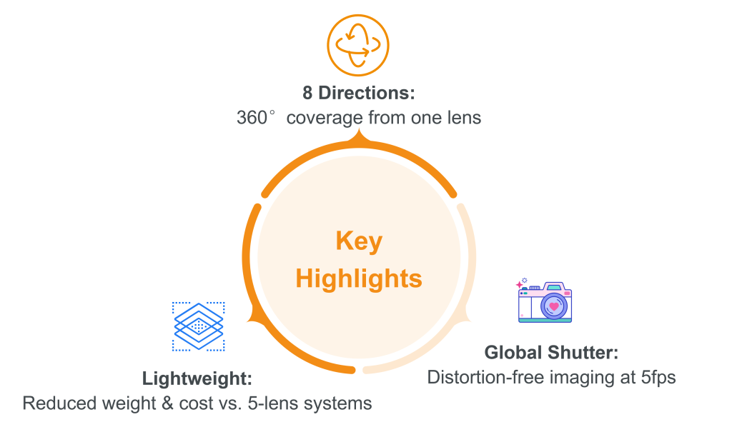
Replaces traditional multi-camera setups with a single high-speed rotating unit. Captures 8 oblique directions (45°) in one pass to ensure full facade coverage and simplified maintenance.
FireGuard.360
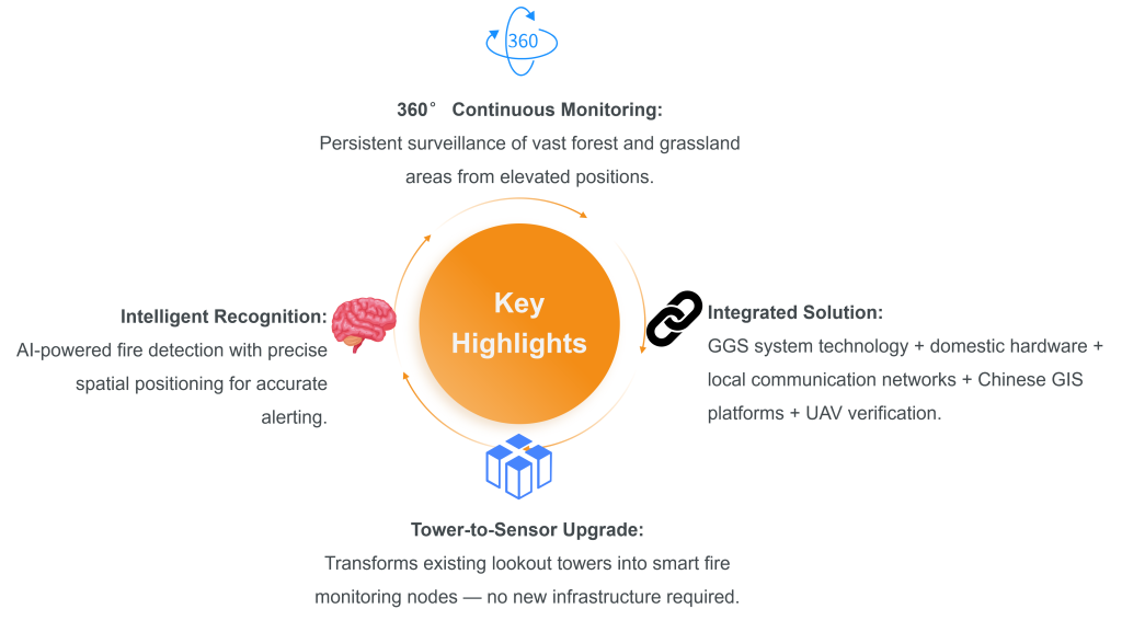
Turning Every Lookout Tower into an Intelligent Fire Sensor
Installed on forest lookout towers and elevated locations, FireGuard.360 continuously monitors large areas with intelligent recognition, spatial positioning and emergency coordination — enabling early detection and rapid response to forest and grassland fires.
GGS
Software Products
MeshHub
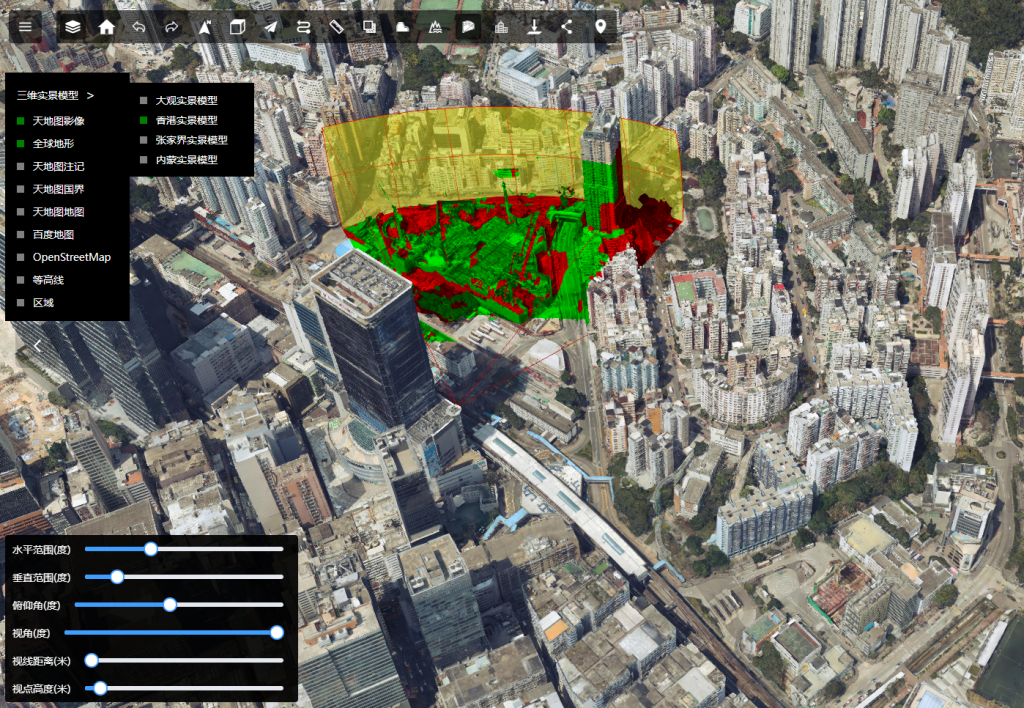
3D Real-World Map Visualization Platform
Multi-Scenario Spatial Analysis
Simulate flight dynamics, lighting, flooding, and line-of-sight constraints—all from one interface.
Real-Time Survey & Measurement
Capture point coordinates, distances, and surface areas instantly with integrated precision tools.
Pix4D
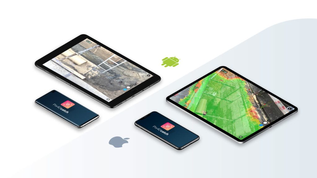
PIX4Dcatch
Professional 3D Scanning in Your Pocket
A mobile 3D scanning application that transforms smartphones into professional-grade data collection tools. It supports LiDAR point cloud capture, AR reality overlays, and RTK high-precision positioning, suitable for ground data collection in areas inaccessible to drones, construction site verification, and accident scene reconstruction. It seamlessly integrates with the Pix4D ecosystem to enable fusion processing of terrestrial and aerial data.
Pix4Dmapper
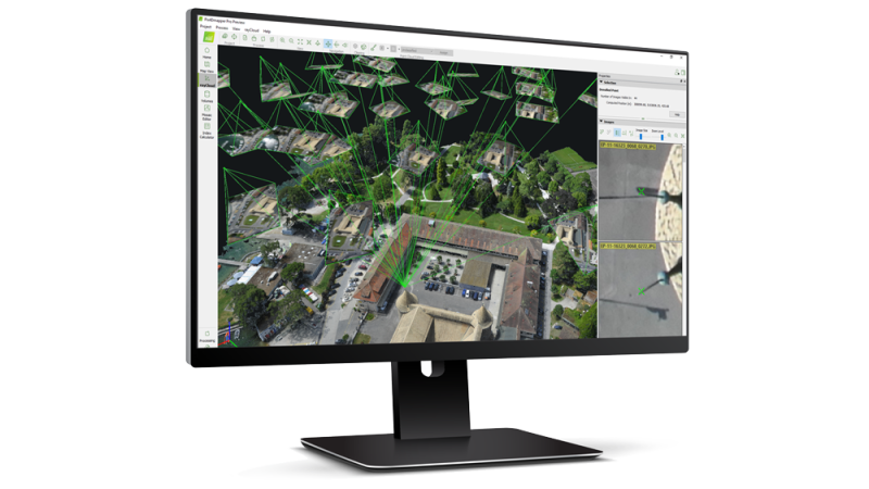
Precision Photogrammetry & Aerial Mapping
The flagship desktop photogrammetry software from Pix4D, capable of processing RGB, multispectral, and thermal imagery captured by any camera. It generates survey-grade orthomosaics, 3D point clouds, digital surface models (DSM), digital terrain models (DTM), and textured 3D meshes, with comprehensive features for point cloud editing, ground control point marking, and quality report analysis. It is suitable for general data processing across industries such as surveying, construction, mining, and public safety.
PIX4Dmatic
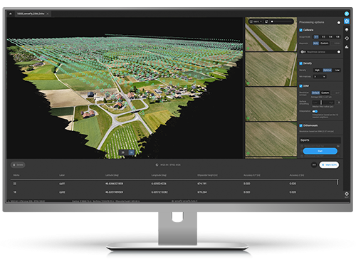
Purpose-built for high-precision aerial and ground surveying workflows
A desktop photogrammetry software designed for large-scale mapping projects, capable of efficiently processing over 10,000 images while saving 50% processing time compared to traditional tools without compromising survey-grade accuracy. It supports fusion of LiDAR and photogrammetry data, and can be directly exported to PIX4Dsurvey for vector extraction. It is suitable for massive data processing scenarios such as long-distance corridor mapping, large construction site monitoring, and city-scale 3D modeling.
PIX4Dfields
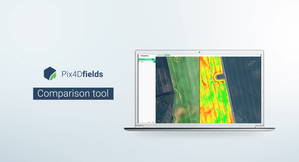
Drone and Satellite Data Processing Software for Precision Agriculture
A desktop analysis software designed specifically for precision agriculture, capable of quickly processing multispectral and RGB imagery captured by drones. It automatically generates vegetation index maps (such as NDVI), prescription maps, and crop health analysis reports, supports AI field boundary recognition and variable rate application plan export, helping growers optimize irrigation, pest control, and fertilizer application to reduce production costs and increase crop yields.
Pix4Dreact
Rapid Image Stitching Software
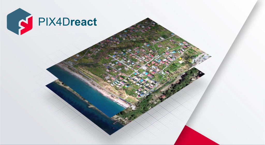
An offline rapid mosaicking software designed for emergency response scenarios, capable of stitching aerial imagery captured on-site into measurable 2D orthomaps within minutes without an internet connection. It supports point of interest marking, distance and area measurement, and PDF report export, requiring no professional photogrammetry experience to operate. It is suitable for time-sensitive scenarios such as accident investigation, disaster assessment, and public safety scene survey.
PIX4Dsurvey
Bridging Photogrammetry and CAD Workflow
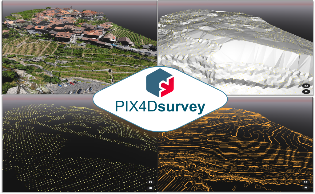
A surveying-specific point cloud vector extraction software that converts dense point clouds generated from photogrammetry into vector data compatible with CAD/GIS. It supports TIN modeling, breakline extraction, contour line generation, and terrain classification, simplifying the workflow from point cloud to CAD design. It is suitable for professional surveyors to convert aerial survey data into engineering design drawings.
PIX4Dicloud
Cloud-powered processing, team collaboration, cross-device delivery
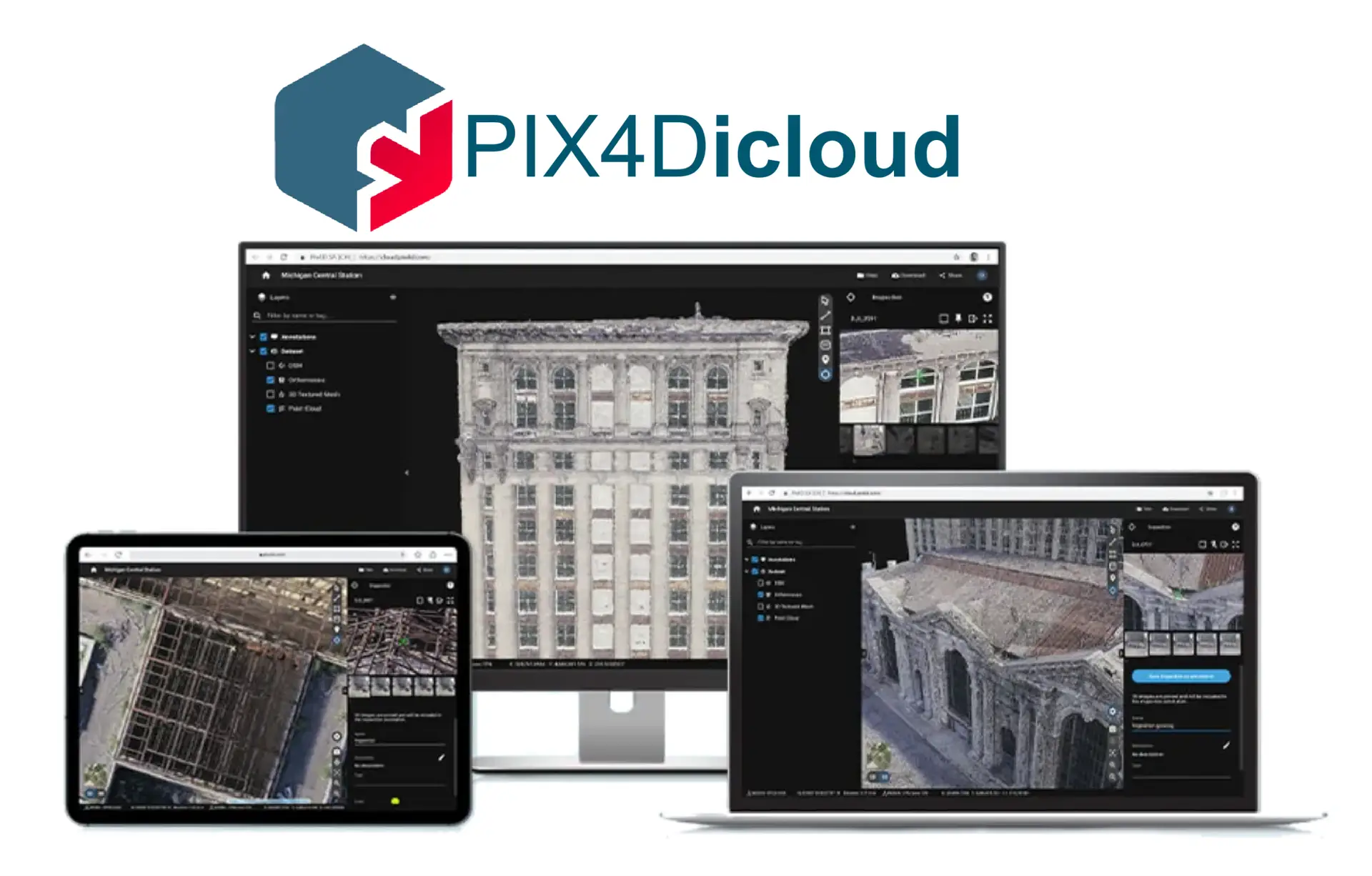
A cloud-based photogrammetry processing and collaboration platform that supports online aerial imagery processing, 3D model visualization, project deliverable sharing, and team annotation collaboration. It can be used without high-end local hardware, and synchronizes with mobile and desktop product data. It is suitable for scenarios such as cross-regional team collaboration, client deliverable handover, and project progress tracking.
PIX4Dengine
Data-Driven Insights for the Future of Reality Capture
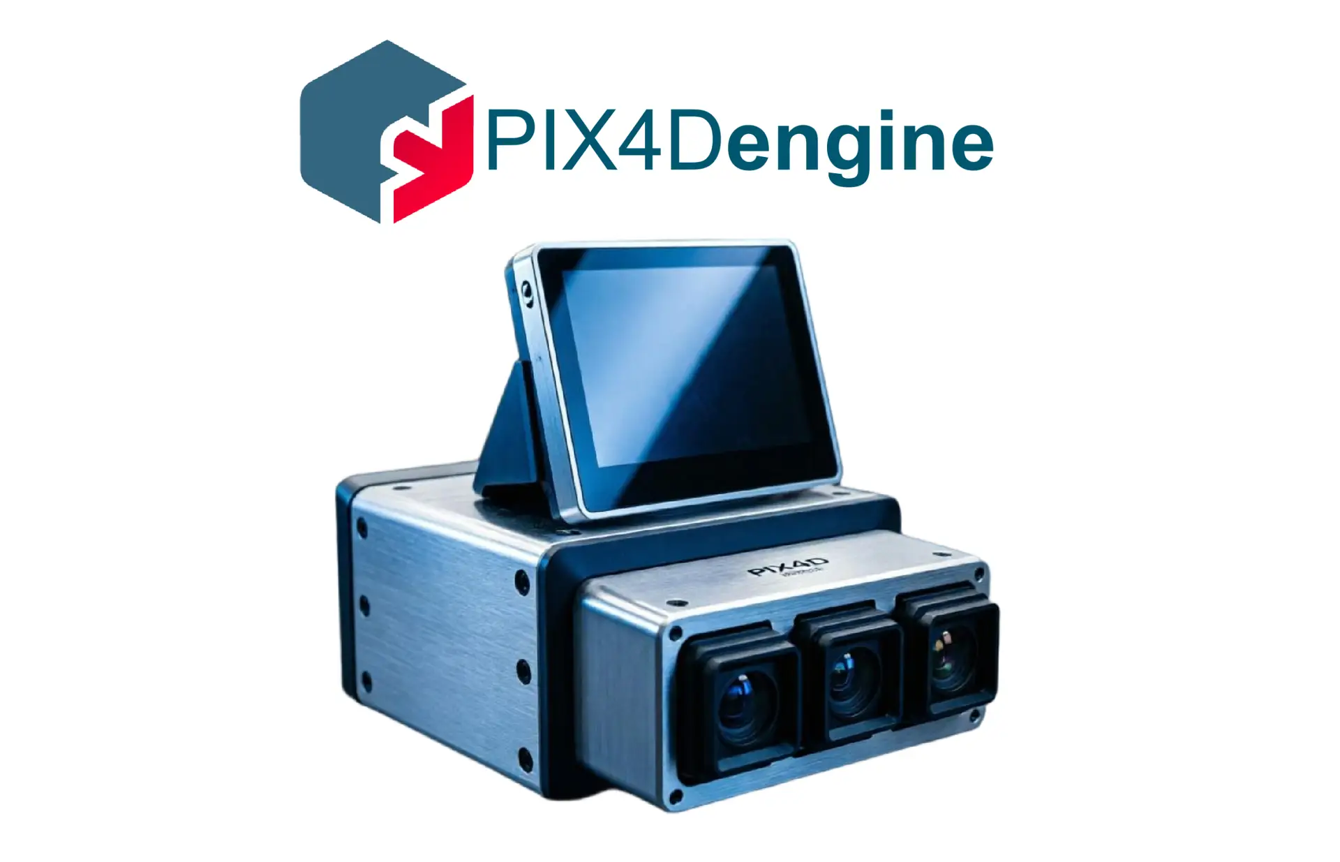
An enterprise-grade photogrammetry development kit that provides two access methods: SDK and Cloud API. It integrates Pix4D’s core processing algorithms into enterprises’ own platforms or automated workflows, supports batch data processing, customized output, and third-party system integration. It is suitable for enterprises and integrators that require large-scale automated data processing and building customized geospatial solutions.
Bentley RM (Reality Modeling)
iTwin Capture Modeler
Transform any reality data into an engineering-ready digital twin foundation
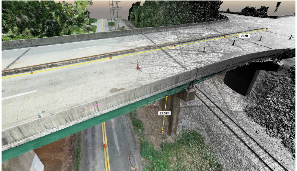
Professional reality modeling software designed to create the foundational layer of digital twins. It supports the import of reality data from any source and automatically converts raw data into engineering-ready outputs—such as reality meshes, Gaussian splats, point clouds, and orthophotos—via a flexible parallel computing workflow. Equipped with the powerful iTwin Capture Engine for local processing and scalable iTwin Capture Cloud Services, it handles datasets ranging from small objects to city-scale environments. Advanced editing tools (masks, water constraints, retouching) and rigorous aerotriangulation ensure high-quality outputs. The software supports SDK customization and integrates seamlessly into the iTwin platform and Cesium®.
iTwin Capture Manage & Extract
Fuse multi-source reality data and extract actionable asset information
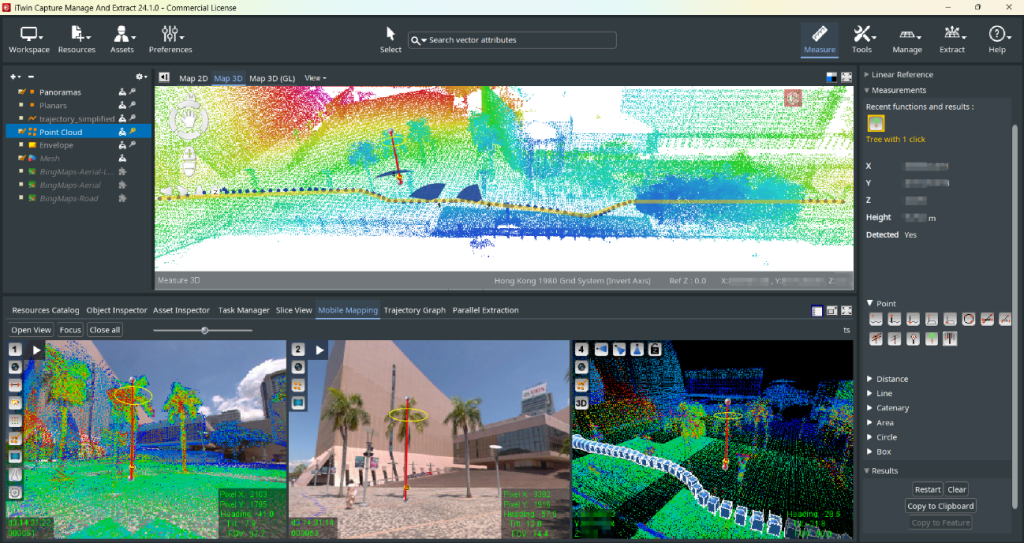
A unified desktop application combining advanced reality data management and feature extraction. It enables hardware-neutral fusion of massive reality data (spherical/planar images, point clouds, meshes) with GIS resources. The software offers robust visualization and navigation, allowing 2D/3D viewing, point cloud transparency adjustments, and multi-view comparisons. It features professional asset extraction and analysis tools, supporting manual, semi-automated, and automated measurements for specific domains like bridge clearance, clash detection, and road rutting. Teamwork capabilities allow for centralized database management, enabling real-time collaboration and transforming unstructured reality data into structured asset inventories.
MicroStation
The core infrastructure platform integrating reality context & automated design
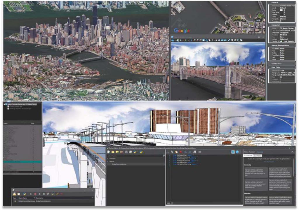
The trusted CAD software for creating precise 2D and 3D drawings for infrastructure projects worldwide. Serving as the foundation for Bentley’s engineering applications, MicroStation provides a robust geospatial context, supporting the direct loading of reality meshes and 3D Tiles. The latest version enhances automation with an integrated Python Editor and AI Assistant for parametric design and live updates. It supports native DGN and DWG formats, ensuring data interoperability. Widely used in transportation, buildings, and energy sectors, it enables engineers to deliver high-quality deliverables (drawings, reports, iModels) within a Common Data Environment.