News

Company News

1746780933298640

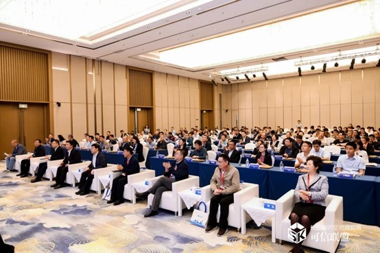
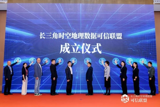
On May 8, 2025, the inaugural conference of the Yangtze River Delta Trusted Geo-Spatial Data Alliance was held in Shanghai. Attended by industry leaders and experts, the event saw Meshdynamics join the alliance’s inaugural board to advance trusted geospatial data circulation and value co-creation.

1746781823295169

As a high-tech enterprise focusing on aerial remote sensing and spatial information solutions, Meshdynamics will apply its expertise in data acquisition, 3D reconstruction and system integration to support the alliance. It will actively advance data standardization, trusted circulation and cross-industry applications.

图片2

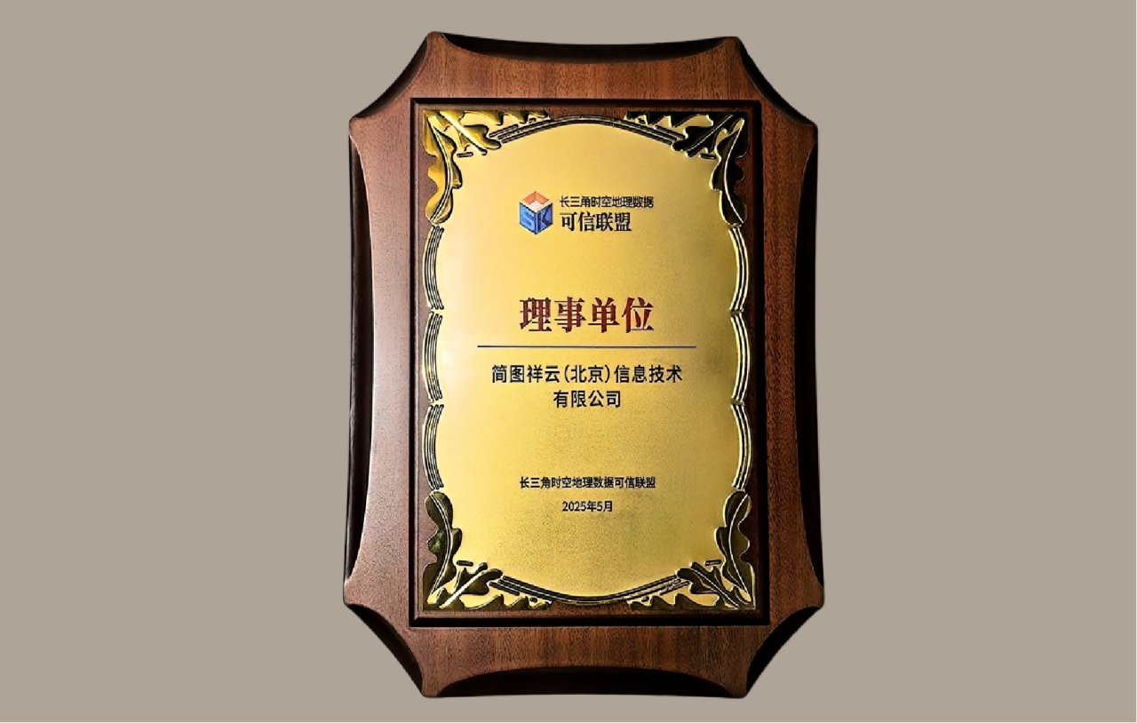
Mr. Ma Xuehai, Deputy General Manager of Meshdynamics (Beijing), attended the conference and accepted the governing unit membership on behalf of the company, highlighting its growing influence in trusted geospatial data and industry collaboration.

1756301523455975

Xining Surveying Institute Visits Meshdynamics (Beijing)
On Feb 16, 2023, Director Zhang Zhishan visited Meshdynamics (Beijing), reviewed its 3D real-scene projects and digital human tech, and offered suggestions on integrating digital humans with immersive environments.

1756379265354614

Meshdynamics (Beijing) leverages aerial photogrammetry and remote sensing expertise, combining spatial information technology with cluster computing, IoT, and automation to drive digital transformation in traditional industries. With surveying qualifications in five categories, the company delivers high-quality spatial data services to a growing client base.

1756304196699931

Hunan Surveying Institute Visits Meshdynamics (Beijing)
On Feb 28, 2023, Hunan’s Director Lei Yubin visited Meshdynamics (Beijing), reviewed joint 3D modeling projects (e.g., Zhangjiajie, Hong Kong), experienced digital human tech, and advised on integrating it with spatial environments—boosting surveying-digital synergy.

1756303289504589

Meshdynamics Highlights Geo-Innovation at Nanchang Expo
At the February 14, 2023 China Surveying & Mapping Expo in Nanchang, Meshdynamics showcased its aerial remote sensing, 3D modeling, handheld SLAM scanners, Aeronautical Chart Master, Bentley software suite, and digital human services—drawing strong interest for applications in urban planning, heritage, and agriculture.

1754645631998460

Meshdynamics Wins Bentley Founders’ Pride Award 2021
Our company contributed to the “FPSO Digital Twin Project” in the South China Sea, honored with a Founders’ Pride Award at Bentley’s 2021 Year in Infrastructure Conference. Using multi-sensor fusion and ultra-high-precision 3D modeling, the project enables full-lifecycle digital monitoring, enhancing safety, efficiency, and remote operations for offshore oil platforms.

微信图片 20260509133924 1224 118

Meshdynamics Secures Four New Software Copyrights
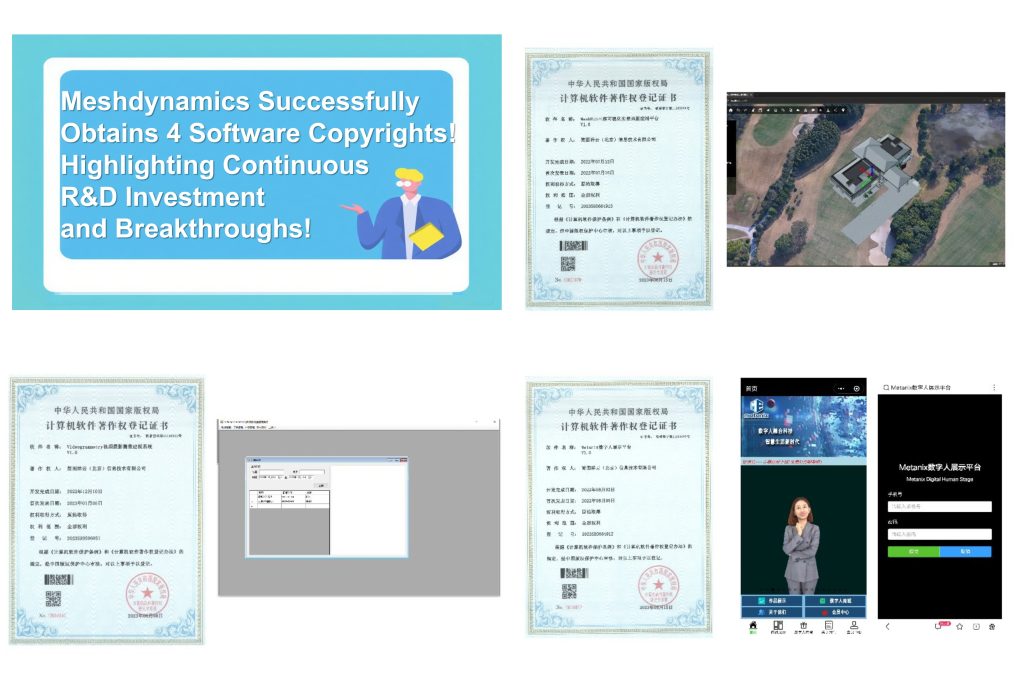
Meshdynamics (Beijing) has been granted copyrights for four innovative software solutions: a videogrammetry-based 3D modeling system, MeshHub real-scene mapping platform, Metanix digital human display platform, and an unreleased new product—underscoring its strong R&D commitment and technological advancement in geospatial and digital human technologies.

1756372153142449

Meshdynamics Achieves 5mm Orthophotos at 10 0m Altitude
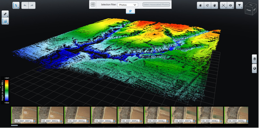
In a joint project, Meshdynamics and partners captured 5mm-resolution aerial orthophotos from 100m using a multirotor UAV—surpassing conventional limits. This “areal control” data enables high-precision AI training for smart cities, agriculture, and infrastructure, marking a leap into the millimeter-era of remote sensing.

1746779665142936

Applanix Executives Visit China to Advance Inertial Navigation Localization
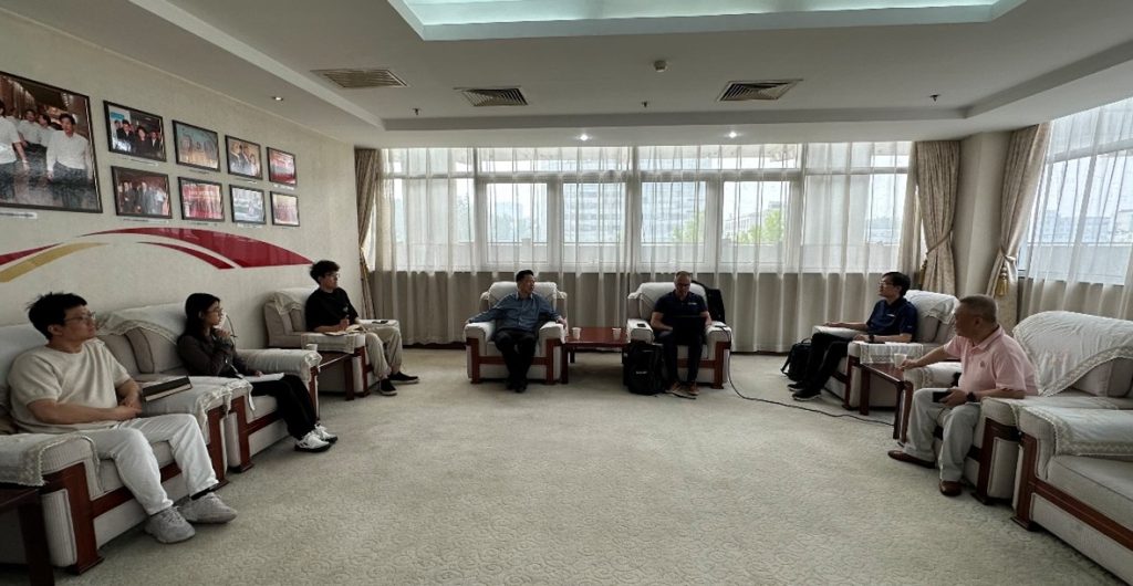
On May 8, 2025, Applanix’s global leadership visited China Geological Survey AGRS and Meshdynamics (Beijing), discussing inertial navigation innovation, RTX-based surveying without ground control, and China market integration. The visit strengthened collaboration on high-precision airborne remote sensing solutions.

1653619870614963

Meshdynamics Builds Digital Twin of Yangshao Ruins
Leveraging drone oblique photography and 3D laser scanning, Meshdynamics (Beijing) has constructed an ultra-high-precision real-scene digital twin of the Yangshao Ruins—one of China’s earliest Neolithic sites. This model supports heritage preservation, academic research, and immersive public education, honoring the birthplace of Chinese archaeology.

Product Updates

fusion 4

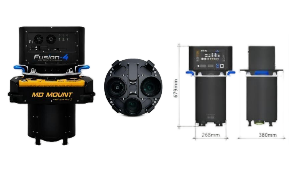
Fusion-4 Four-Band Aerial Camera System

Fusion-4 is a domestically developed, four-band aerial imaging system for professional photogrammetry and multispectral remote sensing. It delivers survey-grade geometry and spectral accuracy, works on fixed-wing and multirotor drones, and features a modular design for dual-use flexibility—filling a key gap in China’s high-end airborne sensing market.

scu628

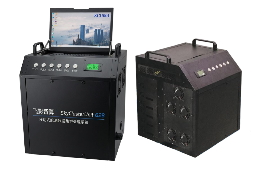
SkyClusterUnit 628: Airborne Edge Computing Power

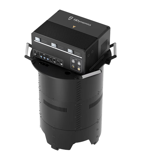
The SkyClusterUnit 628 (SCU-628) is a high-performance, mobile computing cluster designed for real-time aerial data processing. It empowers surveying and emergency response teams to analyze massive datasets directly in the field.

手持扫描仪

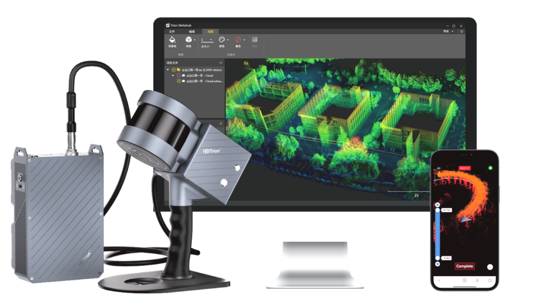
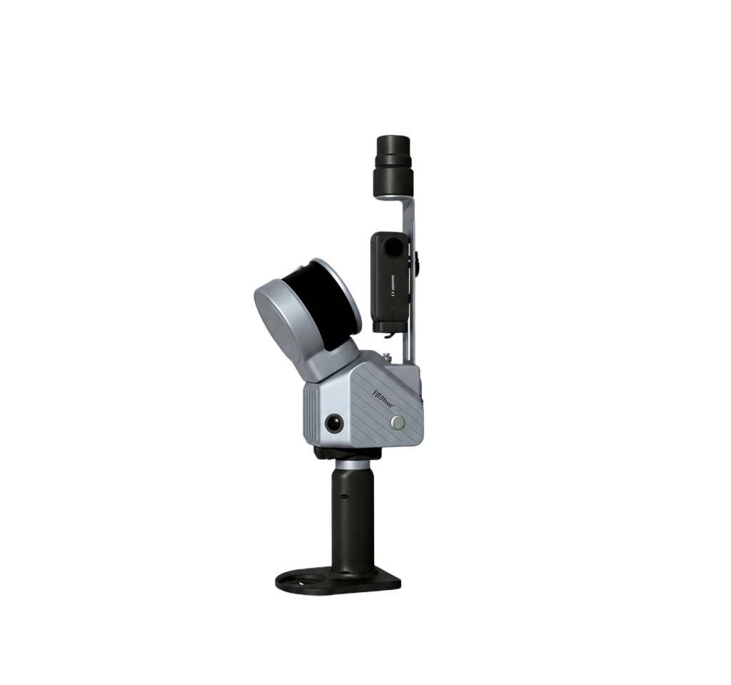
FJD Trion S1 3D Lidar Scanner

FJD Trion S1, lightweight and portable, delivers a new way to scan your surroundings. Indoors, outdoors and underground, it quickly captures high-quality, professional results. Equipped with an advanced SLAM algorithm, it processes and displays precise point clouds in real time on mobile devices.

dd2b1d39 f6a2 4a5e a081 9f0926956d88

AirMapMaster Multi-view Aerial Camera

AirMapMaster Multi-angle Aerial Photographer integrates five 150-megapixel industrial cameras and a high-performance inertial navigation system into a manned aircraft-borne platform. Combining optical imaging, position and attitude measurement, and flight management, it captures urban-scale aerial imagery for dynamic environment monitoring and spatial data applications.

ap60 air datasheet翻译(1)

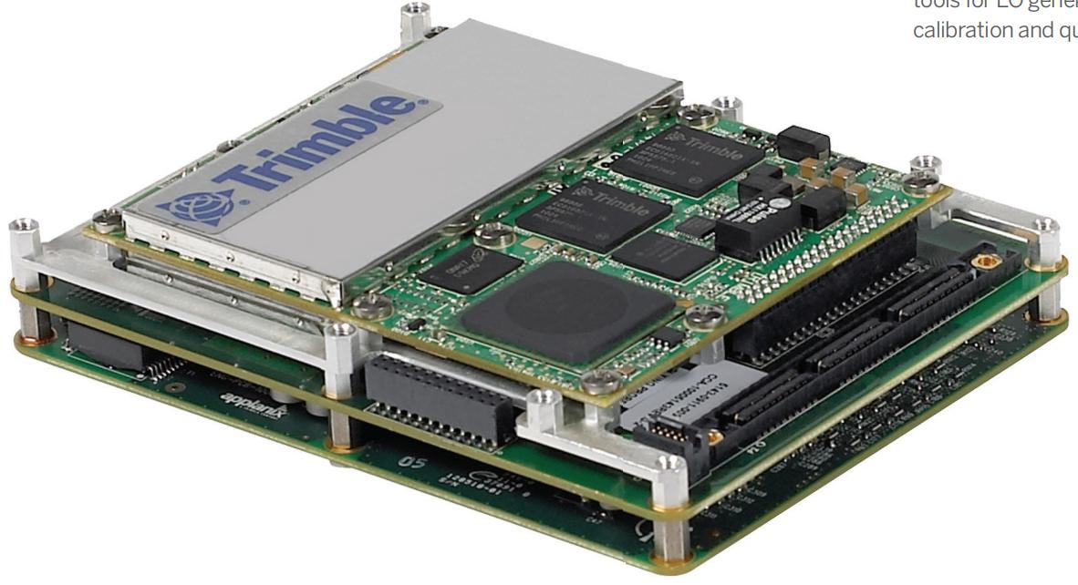
Applanix Inertial Navigation

Applanix’s inertial navigation and positioning system integrates Trimble’s GNSS board, IMU, and Applanix’s proprietary tightly coupled GNSS/IMU algorithms. Its high-precision GNSS receiver and Applanix IN-Fusion GNSS/IMU processing technology are integrated into an industrial-grade control board, boasting a compact size, low power consumption, and industrial-grade triple protection.

d3fc1079 da5f 40c1 87e9 86acc6a4172b

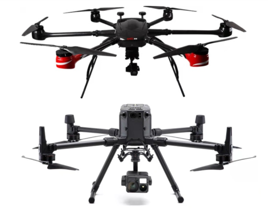
Industrial & Commercial UAVs

Industrial and Commercial UAVs (Unmanned Aerial Vehicles) serve daily operations across industries. As efficient and convenient auxiliary tools, they replace traditional methods and apply to various scenarios including surveying, remote sensing, monitoring, inspection and testing.

fjd trion s2 lidar scanner

Lightweight Precision LiDAR Scanner

The FJD Trion S2 is a lightweight (1.8kg) all-in-one LiDAR scanner delivering 1.2cm accuracy with ranges up to 300m. Its modular design supports diverse platforms like drones and vehicles. With dual 12MP cameras and real-time feedback, it ensures precise data capture. The seamless workflow, from the FJD Trion Scan app to desktop software, simplifies processing into reports, maps, and 3D models.

图片2

Medium Format Aerial Camera

The FJD Trion AM150A is a high-performance aerial camera engineered for efficient, ultra-high-resolution mapping. It features a massive 150MP medium format sensor (53.4×40.0mm) and an 83 dB dynamic range. This powerful combination allows for fewer flight lines and faster missions, significantly boosting project efficiency. Compatible with 90mm and 50mm lenses, the AM150A is ideal for oblique photography, 3D city modeling, and forestry surveys.

图片3

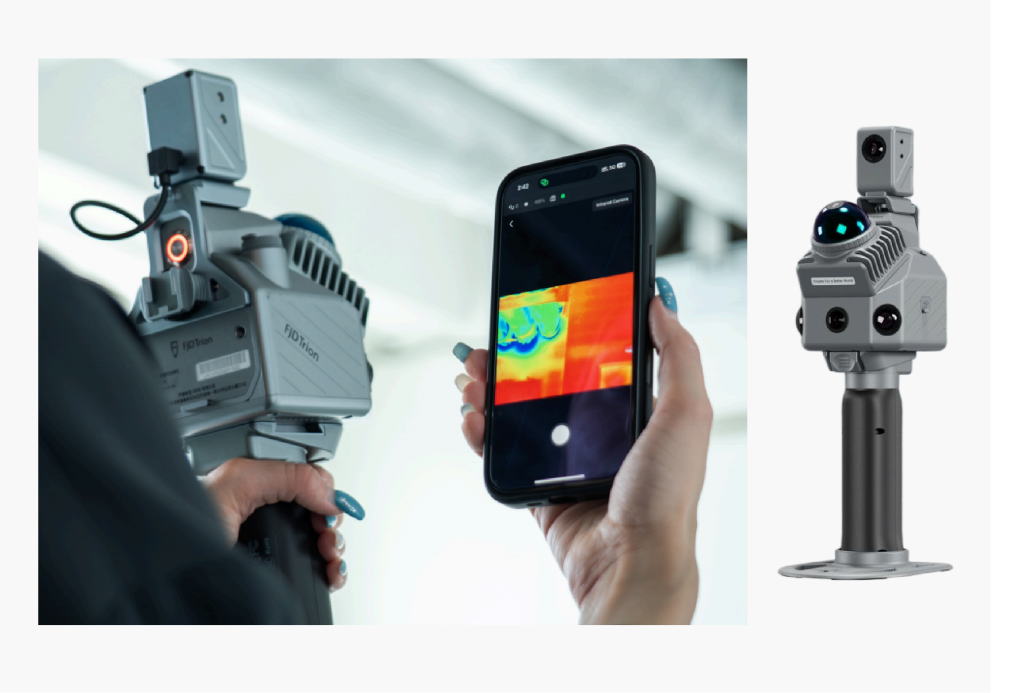
Act Faster with 3D Thermal Insight

The FJD Trion P2 Vision+ is a handheld 3D thermal scanner that unifies thermal, visual, and spatial data. It detects hidden anomalies like leaks and overheating, anchoring each finding to its precise 3D location for faster diagnosis and reporting. With centimeter-level accuracy and a dual-battery design for up to 4 hours of runtime, it streamlines inspections from detection to documentation.

Industry Events

1679463591436881

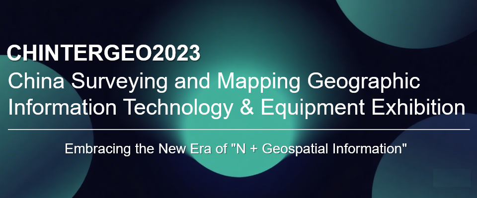
On February 14, 2023, Meshdynamics (Beijing) showcased its innovations at the China Surveying and Mapping Geographic Information Technology Equipment Exhibition in Nanchang. The company presented core solutions including aerial remote sensing, the “Hangtu Master” handheld SLAM scanner, Bentley software suite, and digital human services. These advanced geospatial technologies received widespread acclaim from attendees.

微信图片 2026 05 29 125526 402

Meshdynamics (Beijing) has been honored with Bentley’s “2021 Outstanding Service Partner – Excellence in Professionalism Award.” Recognized for its exceptional performance in technical training, service support, and solution delivery, the company will continue to deepen collaboration with Bentley, advance BIM technology services, and deliver greater value to users.

图片4

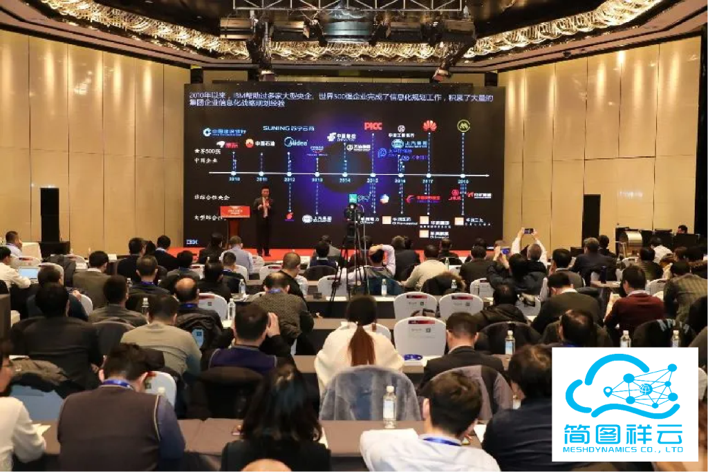
Meshdynamics (Beijing) recently hosted a technical workshop on digital transformation. Experts showcased innovative solutions to help businesses optimize operations. Through interactive sessions, attendees explored the latest tech trends. The event highlighted the company’s commitment to empowering enterprises through technology.

Technical Articles

aerial hyperspectral remote sensing applications

Aerial Hyperspectral Remote Sensing Applications

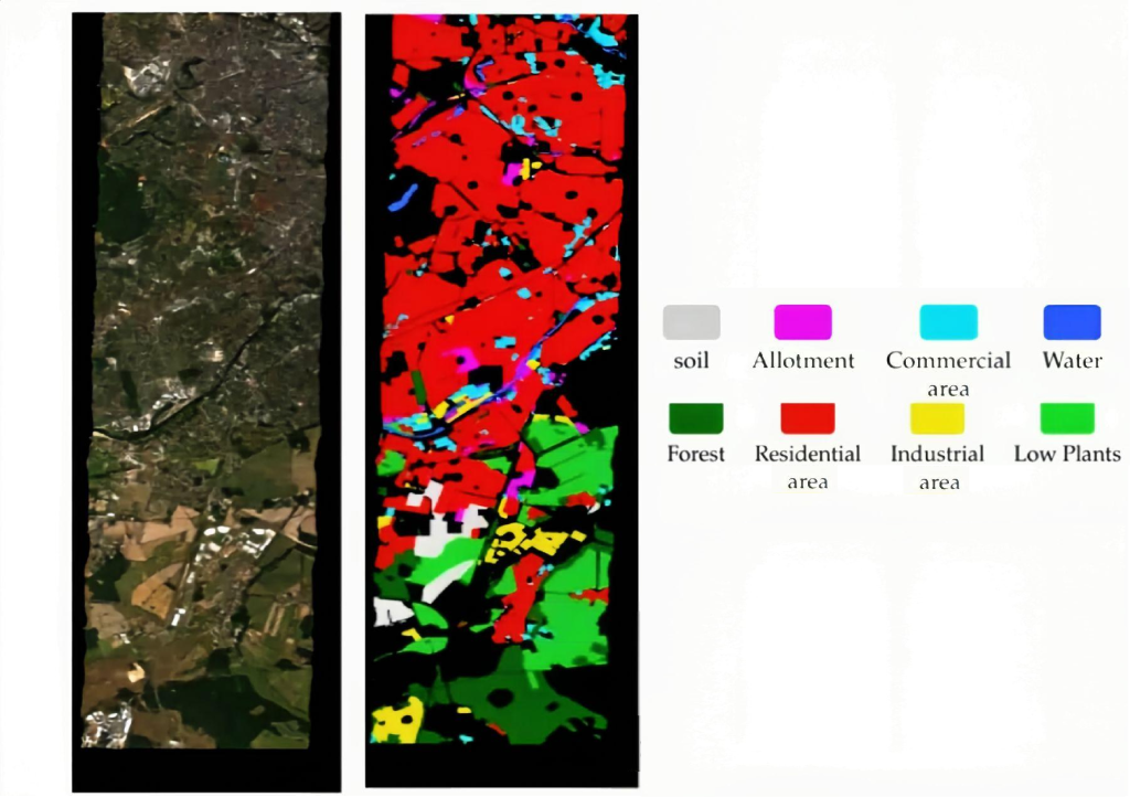
Captures continuous narrow-band spectral data to form detailed curves. By analyzing distinct spectral signatures, it enables precise material identification for ecological monitoring, precision agriculture, and mineral exploration.

1653619870614963

Decoding LiDAR Technology                         

Integrates POS systems to actively emit laser pulses for high-precision 3D coordinates. Capable of penetrating vegetation and independent of lighting, it is essential for DEM generation and complex 3D reconstruction.

screen shot 0 5

The Principles of Oblique Photogrammetry

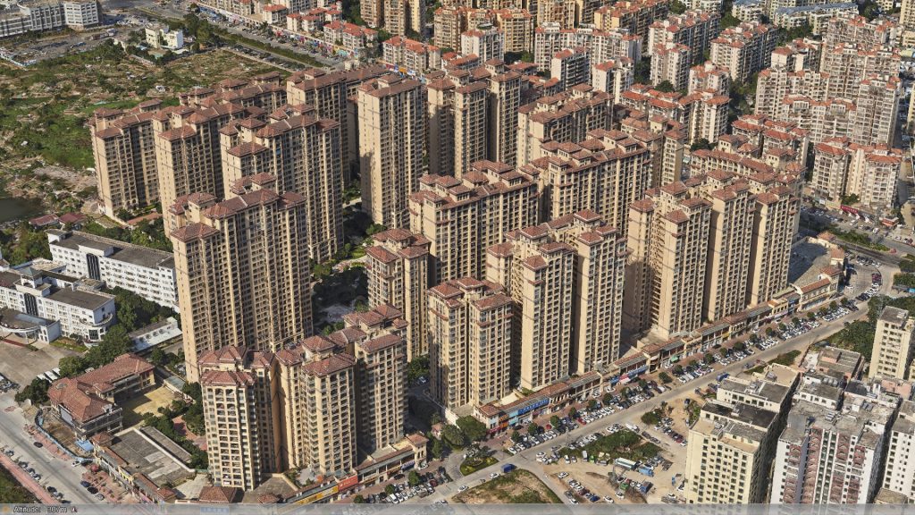
Captures both vertical and side textures via multi-lens synchronization, overcoming traditional orthophoto limitations. It accurately restores building geometry and facade details, serving as a key technology for high-precision 3D modeling.

applications of thermal infrared imagery 2 改02

Applications of Thermal Infrared Imagery

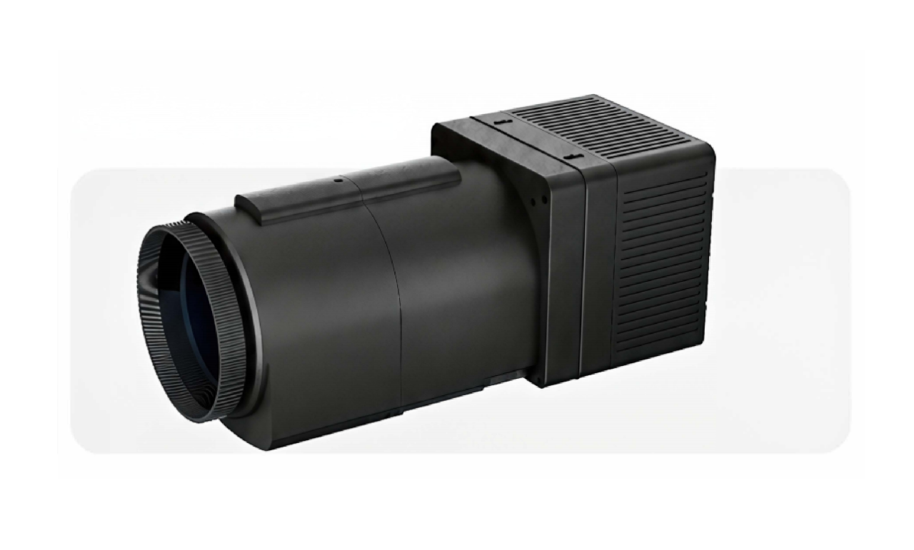
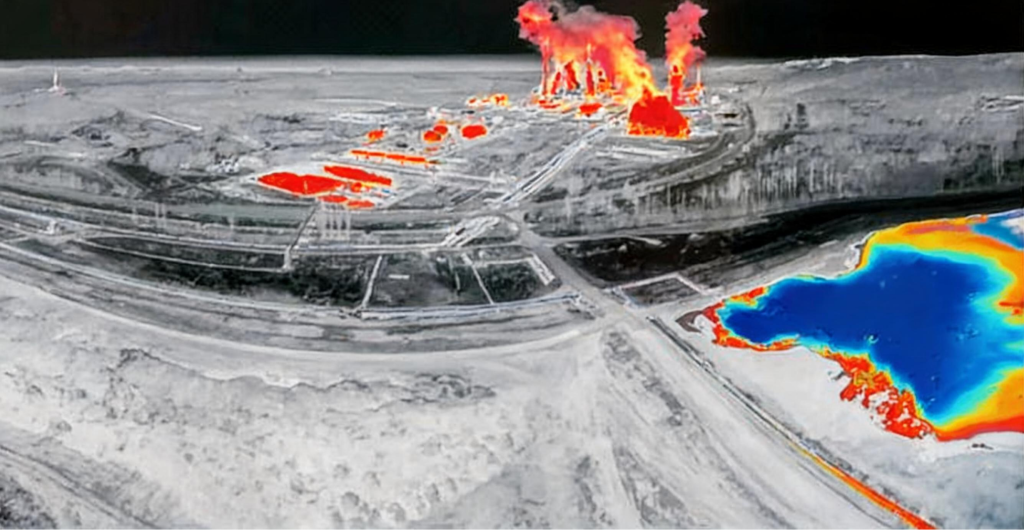
Detects thermal radiation energy distribution to visualize temperature differences. Effective for night operations, it is widely used in urban heat island analysis, power line inspection, and geological hazard warning.

cap 978 001 0594

Vertical Aerial Photography                     

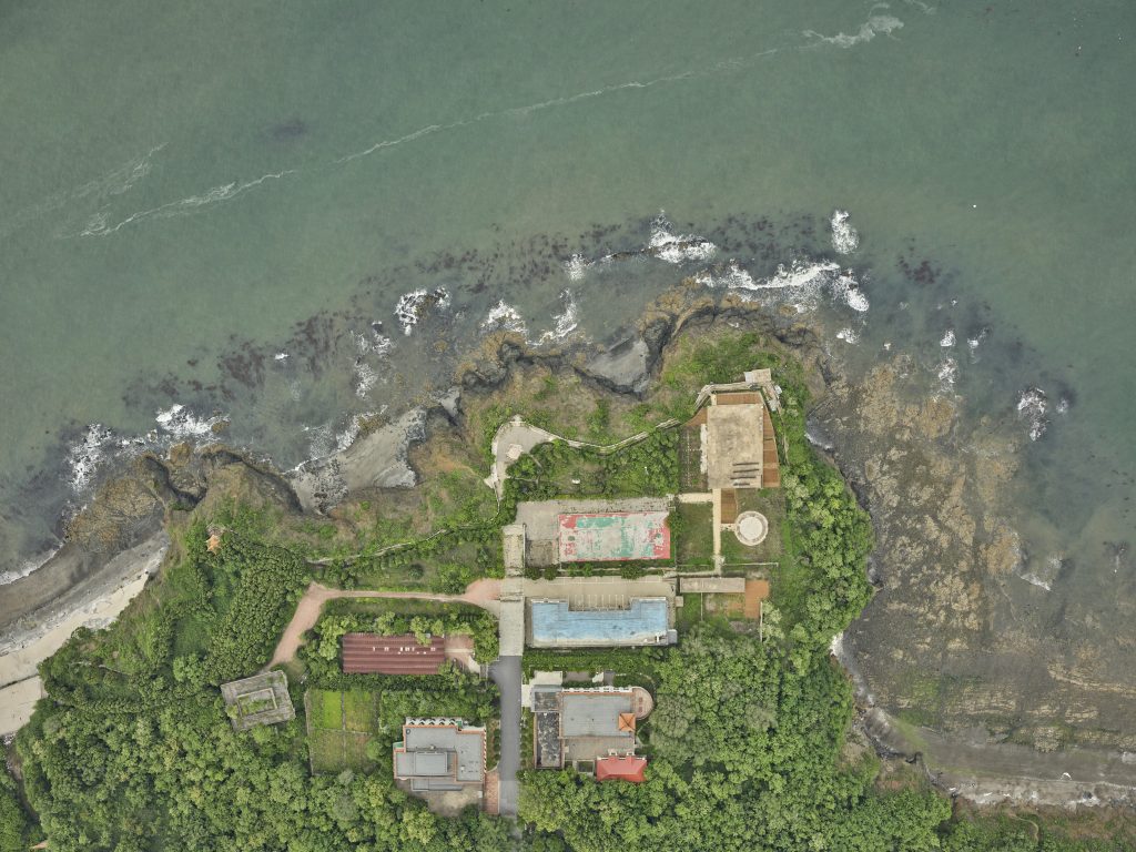
Acquires high-resolution images perpendicular to the ground, reflecting true surface morphology. As a fundamental data source, it efficiently produces DOMs and DLGs for land surveying and urban planning.

微信图片 20260826180051 50 23

Aerial LiDAR Bathymetry (ALB)              

Utilizes green laser penetration to simultaneously acquire above-water and underwater topography. It solves measurement challenges in shallow waters, supporting coastal management, channel surveying, and underwater engineering.

vehicle borne mobile mapping systems (mms) 改

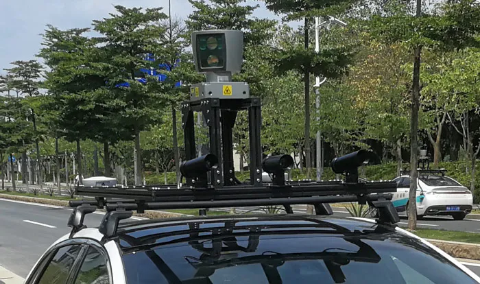
Vehicle-Borne Mobile Mapping Systems (MMS)

Integrates LiDAR, cameras, and navigation systems on mobile platforms for rapid dynamic data acquisition. Primarily used for HD map creation, road asset inventory, and smart transportation infrastructure development.

handheld&backpack mobile scanning system 改

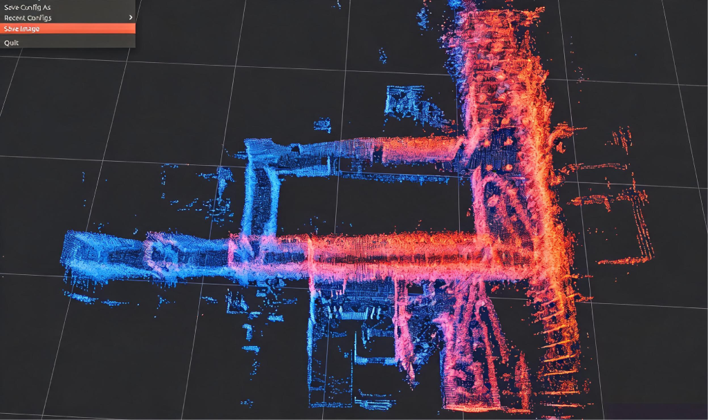
Handheld/Backpack Mobile Scanning System

Integrates LiDAR, panoramic cameras, and IMUs for GNSS-denied environments. Utilizing SLAM algorithms for “scan-on-the-go,” it efficiently captures high-precision 3D point clouds in complex indoor/outdoor spaces and confined areas.

b6b432d0cfa34cc0a9941fffaa43c4f

Photorealistic 3D Modeling Technology  

Fuses multi-source data to automatically generate textured 3D mesh models. Serving as the spatial foundation for digital twins, it realistically restores the physical world for urban planning, simulation, and visual analysis.

Our Typical Clients

Our Partners

滚动至顶部